
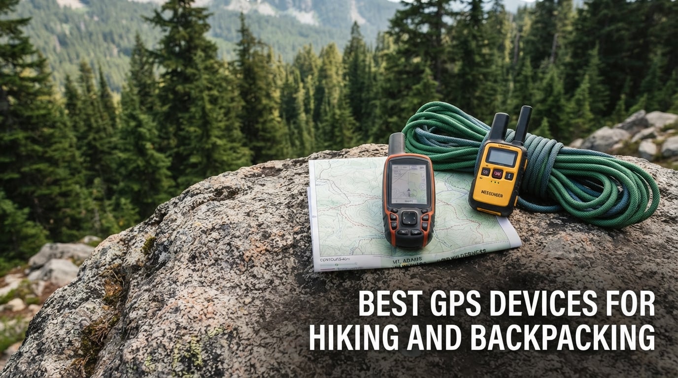
The best GPS devices for hiking and backpacking fall into three very different jobs, and the one you pick depends on which job actually scares you. If you need to find your route when the trail vanishes into scree, buy a navigator with topographic maps. If you are walking alone past the treeline and want a way home, buy a communicator or a beacon. If you want both without carrying two devices, the Garmin inReach Mini is the one we would put in a pack today, and the Garmin GPSMAP 66sr is the one we would pick for pure map detail.
We spent weeks working through ten of the most-reviewed devices in this category, reading thousands of owner reviews, comparing the battery claims against the stated modes, and separating the three jobs the marketing language deliberately blurs together. What follows is a roundup built around that split, not a ranked list of near-identical black boxes.
One thing surprised us. The expensive all-in-one units are not automatically the best choices, and the cheapest tracker on the list cannot receive a single message back. Whether a device needs a subscription is the single most common question hikers ask us, so we answered it in a dedicated section rather than burying it in the reviews.
If you also carry a phone and a battery pack for the trip, our notes on waterproof power banks for camping and hiking cover the charging half of the problem that navigation only solves halfway.
Table of Contents
Top 3 Picks for Hiking and Backpacking in 2026
These three cover the most common trip profiles. The inReach Mini is the safety pick, the 66sr is the navigation pick, and the ZOLEO is the pick for anyone who wants satellite messaging without a large monthly commitment.

Garmin inReach Mini
- Two-way Iridium satellite messaging
- Interactive SOS
- 24-day battery
- Earthmate maps app

Garmin GPSMAP 66sr
- Multi-band GNSS
- 3-inch color display
- 36-hour standard battery
- BirdsEye with no annual fee

ZOLEO Satellite Communicator
- Iridium two-way messaging
- 24/7 SOS centre
- 200-hour battery
- IP68 rated
All 10 Devices at a Glance
Every device below appears in the same order throughout this guide, so you can move between the table and the full reviews without re-scanning.
| Product | Specifications | Action |
|---|---|---|
| Garmin inReach Mini |
|
Check Latest Price |
| Garmin GPSMAP 66sr |
|
Check Latest Price |
| ZOLEO Satellite Communicator |
|
Check Latest Price |
 Garmin eTrex 10 Garmin eTrex 10 |
|
Check Latest Price |
 ACR ResQLink View PLB ACR ResQLink View PLB |
|
Check Latest Price |
 Garmin eTrex 22x Garmin eTrex 22x |
|
Check Latest Price |
 Garmin inReach SE+ Garmin inReach SE+ |
|
Check Latest Price |
 Garmin GPSMAP 65 Garmin GPSMAP 65 |
|
Check Latest Price |
 Ocean Signal rescueME PLB1 Ocean Signal rescueME PLB1 |
|
Check Latest Price |
 SPOT Trace SPOT Trace |
|
Check Latest Price |
What Makes a Great GPS Device for Hiking and Backpacking?
Before comparing models it helps to separate the criteria that actually matter on a trail from the ones that only matter in a spec sheet. These are the eight we scored every device against.
1. Battery life in the right mode. Marketing quotes the most flattering number available. A unit rated for twenty hours in GPS mode may run far longer in expedition mode and far shorter with a color screen and Bluetooth active. Know which mode you will actually be in, because multi-band positioning and a color display both cost power.
2. Power model. Two AA batteries are the most robust option in the backcountry: any gas station sells them, and a dead unit is never a dead trip. An internal lithium battery charges faster and drives brighter screens, but a sealed cell that fails in cold weather ends your navigation. Solar is a supplement, not a replacement, because it depends on unobstructed sunlight that forests and winter cloud cover rarely provide.
3. GNSS accuracy. Multi-band positioning and multi-constellation support are different upgrades. Multi-GNSS listens to more satellite systems, which speeds up the fix. Multi-band listens to two frequency bands, which is what holds a steady position under heavy tree cover and in deep canyons. Quad-helix antennas deliver a similar effect in some designs.
4. Mapping depth. A preloaded basemap is not the same as preloaded topographic maps. Breadcrumb navigation retraces the line you walked, which is useful for a quick retrace and useless for finding a water source or avoiding a cliff band. Look for contour lines and routable trails.
5. What happens when you press SOS. A personal locator beacon sends a distress signal to rescue services and stops. A two-way communicator relays messages through a monitoring centre and lets you confirm someone is coming. A tracker just posts coordinates for you to check. All three are valid, and only one of them talks back.
6. Durability and water rating. IPX7 means the unit survives immersion in water, which covers rain, river crossings and a dropped device. Buoyancy is a separate, rarer feature that decides whether a beacon comes back if you go into the water. Military durability standards tell you about temperature and vibration survivability, not waterproofing.
7. Weight in grams. A handheld is a second device to carry, charge, and remember at the trailhead. Most of these units land between roughly 85 and 230 grams, which is noise in a pack but decisive if you are running ultra.
8. Glove and rain usability. Hikers repeatedly tell us that physical buttons beat touchscreens in wet gloves and cold fingers. Button-driven menus are slower in the shop and far more reliable halfway down a talus slope in a storm.
1. Garmin inReach Mini – Best Overall Satellite Communicator
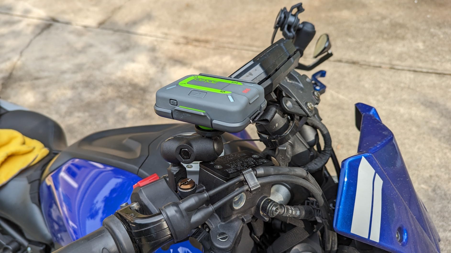
Garmin 010-01879-01 InReach Mini, Lightweight and Compact Satellite Communicator, Black, 1.27 inches
- Exceptionally small and light for a satellite communicator
- Two-way messages often transmit in about a minute with open sky
- Audio chime confirms the message reached the network
- Battery easily covers a full multi-day trip
- Live tracking page can be shared and password protected
- Not a navigation device with no map screen
- Typing on the four-button keypad is slow
- Messages can take five to twenty minutes to confirm
The Mini is the device we hand to friends who hike alone. It clips to a pack strap and disappears, which matters more than any feature on the box, and the two-way Iridium messaging works about as fast as the satellite network allows.
Two details make it feel considered rather than cheap. An audio chime confirms when a message has actually reached the network, so you are not staring at a screen wondering. And three preset check-in messages can be sent as often as you like without message charges, which removes the mental arithmetic from keeping family informed.
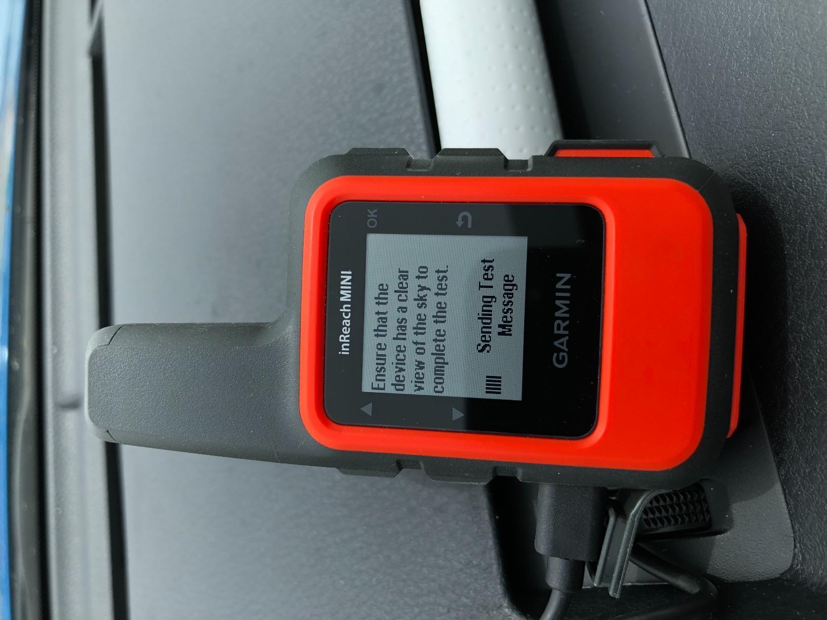
Across reviews, the endurance claim holds up. Owners report a device that easily lasts a week of intermittent use, and one mentioned checking in with most of the battery still showing after seven days. The charging port and Bluetooth pairing do add some drain, so a long trip with daily phone pairing wants a top-up in the pack.
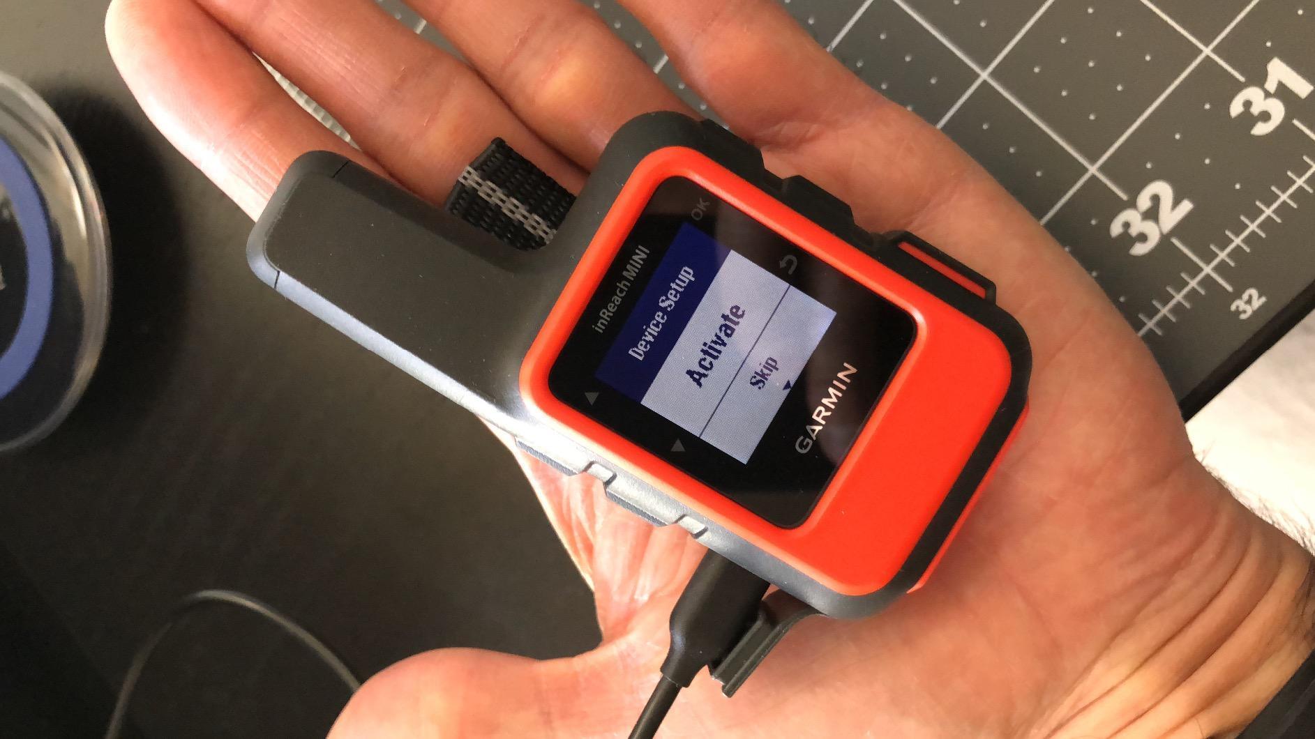
Be clear about what it is not. There is no topographic map screen, so you still navigate with a paper map, a dedicated handheld, or your phone. The Earthmate app does give you downloadable maps, NOAA charts and colour aerial imagery on the phone.
Why it earns the top spot
It has the strongest combination of owner satisfaction and review volume in this category, with thousands of reviews and a rating that holds up. Nothing else at this size gives you a monitored interactive SOS plus confirmed two-way messaging plus a battery that ignores a whole week.
Where it falls short
Typing on a four-button keypad is genuinely tedious, and a phone is still the practical way to write a long message. If your trips are long enough that you want navigation from the same device, the inReach SE+ or a GPSMAP is the better pairing.
2. Garmin GPSMAP 66sr – Best Full-Size Navigator
Garmin GPSMAP 66sr, Hiking Handheld with Expanded GNSS and Multi-Band TechnologyHandheld, 3″ Color Display (010-02431-00), Black
- Multi-band holds roughly six-foot accuracy under heavy tree cover
- Very fast satellite acquisition
- Large sharp 3-inch screen readable in the field
- BirdsEye imagery downloads with no annual fee
- 3-axis compass and barometric altimeter
- Internal battery is not user-replaceable
- Charging port reported failing after about a year
- Reported shutdowns in extreme cold around -30C
If you want one screen that does everything a modern handheld should do, the 66sr is the strongest all-round navigator here. The 3-inch colour display is large enough to read contour lines without squinting, and multi-band positioning holds a tight fix in the places where older handhelds wander.
The BirdsEye satellite imagery situation is worth pausing on, because it is the usual reason people hesitate. Here the imagery downloads directly to the device with no annual subscription attached. Preloaded routable TopoActive maps and the U.S. federal public land map cover the United States out of the box.
Battery figures are quoted in two very different modes. Standard mode is rated up to 36 hours, which comfortably covers a multi-day trip. Expedition mode stretches that to 450 hours by trimming what the device does, and it is a genuinely useful setting for a fast hiker who only needs a track and a breadcrumb.
Why hikers pick it
It is the rare device that is not asking you to choose between map detail and battery. Wi-Fi, Bluetooth and ANT+ are all present, so it syncs routes from the Garmin Explore app and pairs with sensors and wearables when you want that data.
Where the design annoys people
The sealed internal battery is the main complaint. It is not replaceable, and owners have reported both charging port failures after about a year and shutdowns in deep cold. For winter and alpine routes, a unit that takes AA batteries is simply a safer bet.
3. ZOLEO Satellite Communicator – Best Communicator on a Small Plan
- Entry-level airtime plans with a suspend option
- Users measure 200 hours or more of battery life
- App sends over Wi-Fi then cellular then satellite
- Works on the same Iridium network as Garmin inReach
- Status lights confirm message delivery
- Set-up instructions and contact configuration are confusing
- Communicator only with no maps or navigation screen
- Mobile app interface needs trial and error
The ZOLEO is the answer for hikers who want satellite peace of mind without a Garmin price tag or a large recurring commitment. It runs on the same Iridium network as the inReach line, so the network coverage story is identical.
The feature we like most is the app’s routing logic. It sends over Wi-Fi first, then cellular, then satellite, so ordinary check-ins from a trailhead or a car park do not burn satellite credits. You can also suspend the plan between trips for a small monthly fee rather than cancelling outright.
Battery life is the quiet winner here. At 200 hours or more, users routinely finish a full multi-day trip on one charge, and one detailed account describes a real search and rescue activation that worked exactly as intended. The device is IP68 rated and weighs 12 ounces, which is heavier than a Mini but well within pack range.

What works better than expected
Pairing and sharing between multiple family members is painless, and because the phone app does the work, you never have to be holding the device when you send an SOS. Dedicated SMS number and email address are assigned to the unit, so contacts do not need to memorise a new number.
What takes practice
The documentation and the contact setup process are the weak spot. First-time users report needing trial and error before they get the configuration right, and a few mention coordinates occasionally missing from a sent check-in. Budget an evening with it before the trip, not on the trail.
4. Garmin eTrex 10 – Best Value Paper-Map Handheld
- Lightest handheld here at 5 ounces
- Two AA batteries are replaceable anywhere
- Button operation works with cold or gloved hands
- WAAS plus HotFix and GLONASS give a fast fix
- Paperless geocaching support
- Monochrome 2.2-inch screen with no topographic detail
- No Bluetooth or Wi-Fi and no electronic compass
- Waypoint navigation is limited against modern handhelds
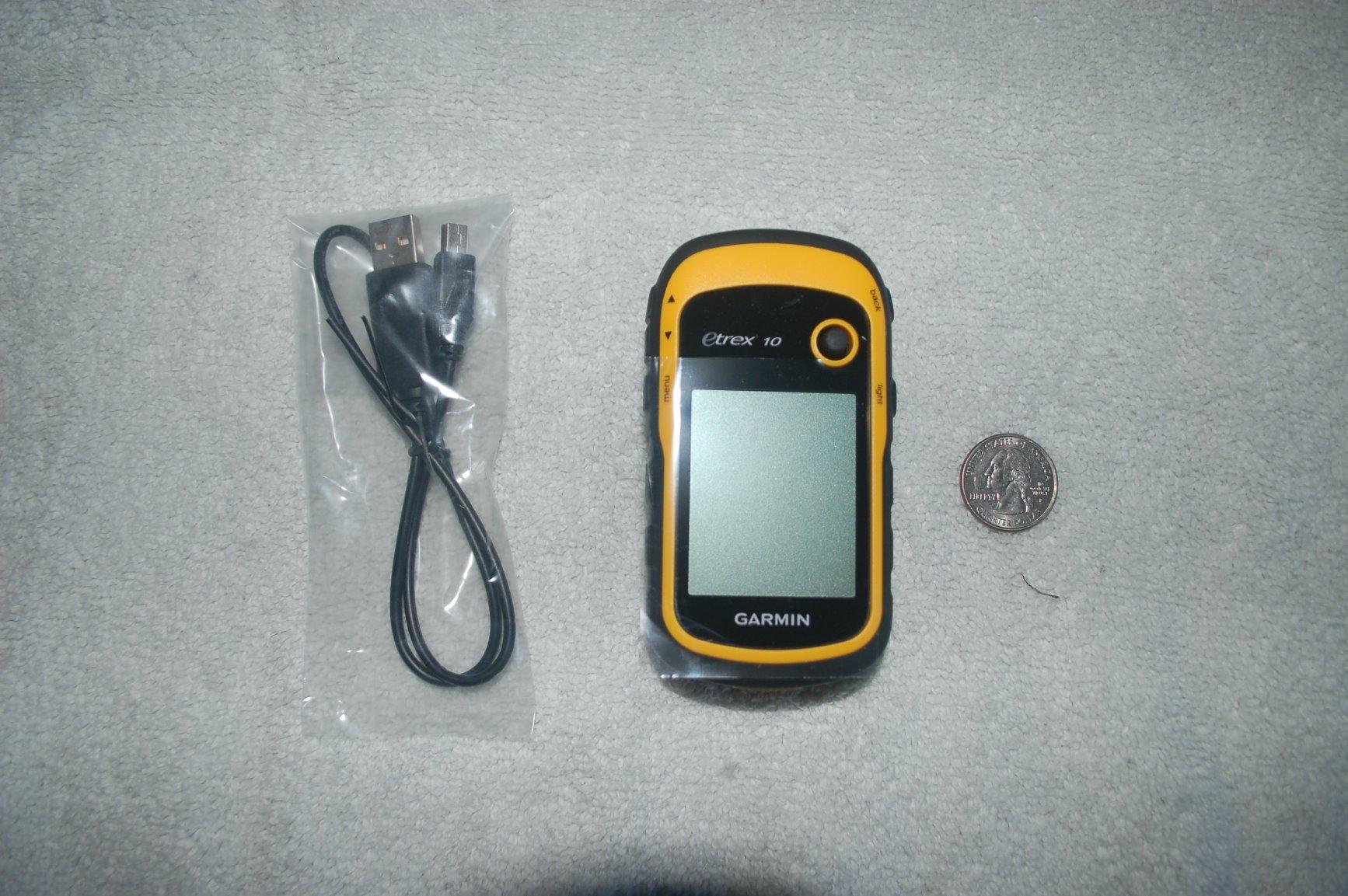
The eTrex 10 is the oldest unit in this guide and still one of the most reviewed, and that combination tells you something useful. It is a bare navigator: a worldwide basemap, a position, a track, and a waypoint list. That is the whole idea.
It weighs 5 ounces, runs for up to 20 hours on two AA batteries, and carries an IPX7 water rating. Nothing about it needs charging on a multi-day trip, and the physical buttons are exactly what you want with cold hands.
Its WAAS-enabled receiver with HotFix and GLONASS support locks on quickly, which is the practical difference between a device that feels confident and one that feels like a toy. Reviewers consistently frame it as a no-frills tool, and they accept the old-fashioned screen in exchange for that reliability.
Why it still earns a place
At 5 ounces it barely registers in a pack, and the AA batteries mean no charger, no cable, and no cold-weather shutdown. For a hiker whose navigation plan is a paper map with a compass, the eTrex 10 makes the map more useful without pretending to replace it.
Where it will frustrate you
The 2.2-inch monochrome display shows no topographic detail and no colour shading, so contour lines are not something you will be reading on it. There is no Bluetooth, no Wi-Fi, and no electronic compass, so heading comes from the sensor rather than the satellite fix.
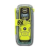
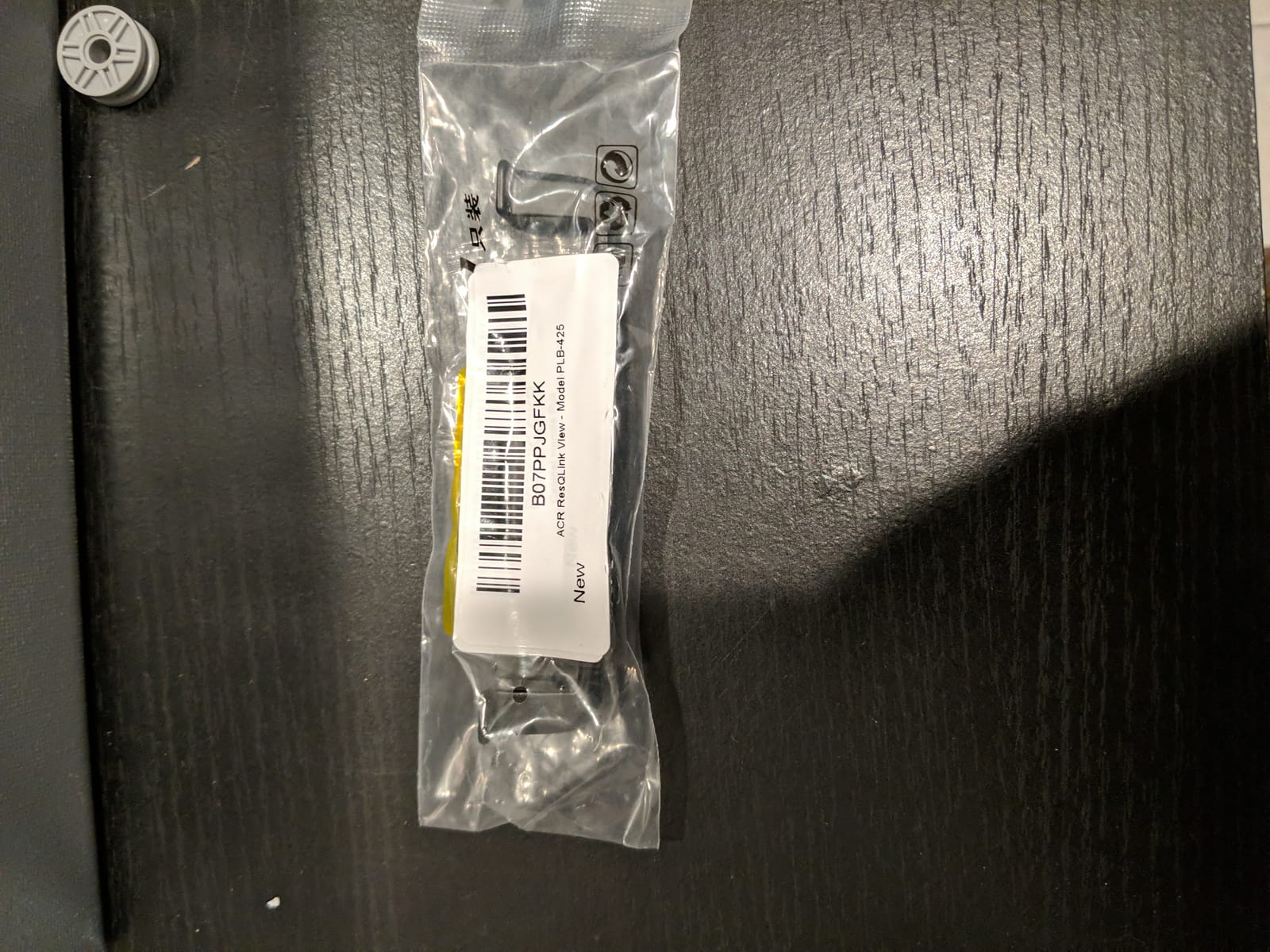
5. ACR ResQLink View PLB – Best SOS Beacon With No Recurring Fee
ACR ResQLink View PLB425 – Buoyant GPS Personal Locator Beacon – 2922
- Emergency alerting works with no subscription or monthly fees
- Five watts of signal power
- Buoyant and waterproof so it survives a dunking
- Screen confirms the unit is on and working
- Self-test passed for owners on the first attempt
- SOS only with no two-way messaging
- Registration depends on the correct regional variant
- Must be re-registered periodically or alerts will not reach the right authority
Everything else in the safety category asks you to keep paying. The ResQLink View does not. The distress signal goes out over the international 406 MHz frequency with a 121.5 MHz homing signal, and rescue alerting carries no subscription requirement at all.
That simplicity is the whole appeal. There is no account, no app to configure, and no monthly decision. The OLED screen tells you the unit is live, and the self-test lets you confirm the thing works before you need it, which several owners say they found reassuring straight away.
The signal power is the other headline. Five watts is far stronger than most subscription communicators put out, and the device is buoyant, so a fall into a river does not become a lost beacon. It weighs 5.28 ounces and comes with a five-year limited warranty.
Where this is the right pick
It suits hikers who want a distress alarm and nothing else, and who refuse to attach a recurring fee to a safety device. The optional 406Link subscription is only for self-test and GPS test messages, not for the emergency function.
What you give up
There is no two-way messaging and no location sharing between check-ins. You also need to get the registration right for your region, and some units ship programmed for a different country, so verify the variant and complete the paperwork before the trip.
6. Garmin eTrex 22x – Best Budget Handheld With Preloaded Topo Maps
Garmin 010-02256-00 eTrex 22x, Rugged Handheld GPS Navigator, Black/Navy
- Preloaded routable topo maps need no extra downloads
- Up to 25 hours of GPS battery on replaceable AA batteries
- GPS plus GLONASS holds under canopy and in steep terrain
- Color screen stays readable in direct sunlight
- Weighs under 5 ounces
- Small 2.2-inch screen limits detailed map viewing
- No Wi-Fi and Bluetooth is mainly for sensors
- Older model year with no multi-band positioning
The eTrex 22x is the answer to the most common question hikers ask us about map devices: can I get real topographic detail without buying extra maps or setting anything up. Yes, and it is the reason this unit is on the list.
It ships with preloaded TopoActive maps including routable roads and trails for hiking and cycling, plus 8 GB of internal memory and a microSD card slot for regional detail. The 2.2-inch colour screen is small but genuinely sunlight-readable.
Battery life is rated up to 25 hours in GPS mode on two AA batteries, which beats most rechargeable handhelds of its size and means you can carry spare cells rather than a cable. GPS plus GLONASS support keeps a steady fix under canopy and in steep terrain.
Where it beats the cheaper paper-map units
It adds a colour screen, internal storage, and Bluetooth for sensors and smart notifications on top of the replaceable battery concept. If your navigation involves following a named trail rather than eyeballing a valley, that is a meaningful upgrade.
Where it holds you back
There is no multi-band positioning, so accuracy in deep forest and urban canyons is single-band. The button-driven menu is slow and dated next to touch-screen units, and at 2.2 inches you will spend more time zooming than reading.
7. Garmin inReach SE+ – Best Single Device That Does Both Jobs
Garmin inReach SE+, Handheld Satellite Communicator with GPS Navigation
- Combines a usable topo map screen with two-way satellite messaging
- Rated up to 100 hours at 10-minute tracking intervals
- Impact-resistant IPX7 body suits harsh conditions
- Bluetooth pairing with Earthmate adds maps and imagery
- Button interface works reliably with gloves
- Older and heavier than the current Mini and Messenger lines
- Mapping is basic next to modern topo handhelds
- Requires an active satellite subscription to function
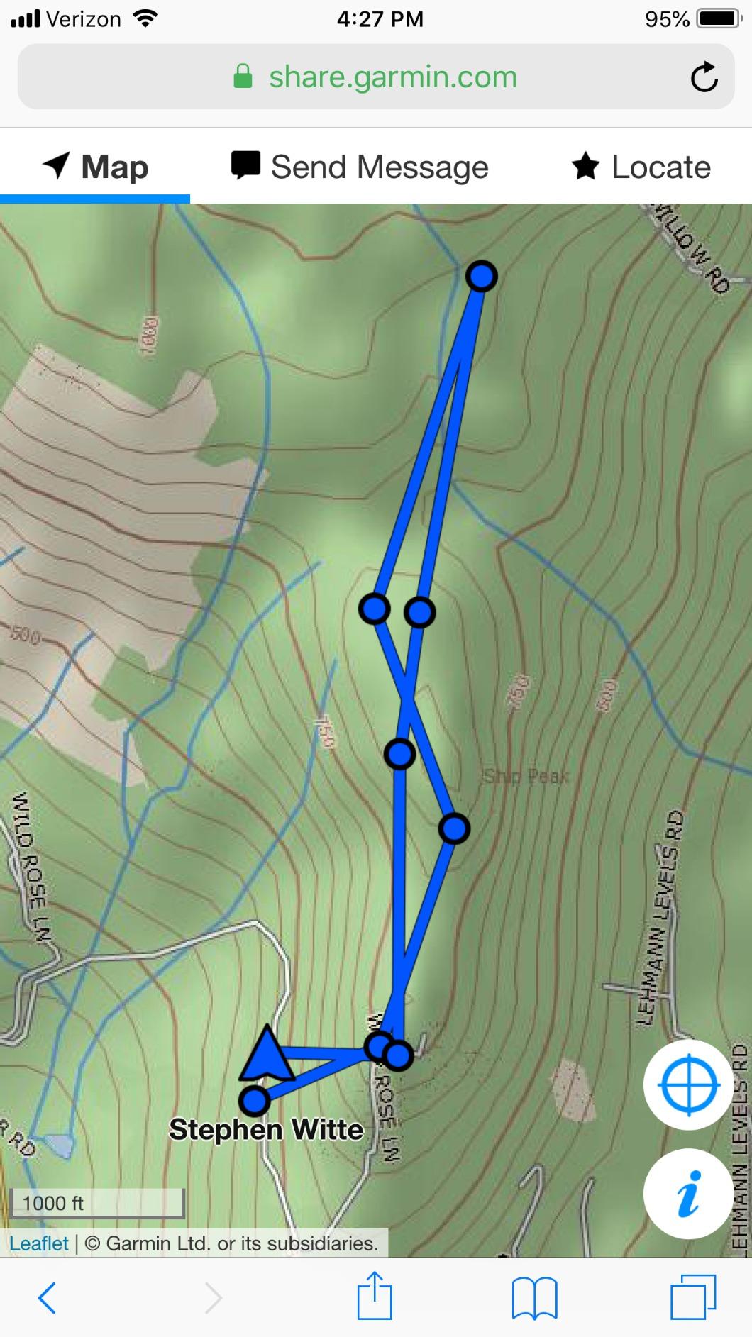
The inReach SE+ exists because carrying a navigator and a communicator is annoying. It has a 2.3-inch screen with satellite and topographic map types, plus full two-way Iridium messaging and interactive SOS in the same body.
The battery spec is unusually generous. It is rated up to 100 hours at 10-minute tracking intervals, and up to 30 days in power save mode. That makes it a good fit for a trip where you want a shared location breadcrumb running the whole way without thinking about charging.
Pairing through the free Earthmate app adds downloadable maps, NOAA charts and aerial imagery on top of what is onboard. The impact-resistant IPX7 body and the familiar button interface are both trail-appropriate, even if the styling dates the unit.
Why it still makes sense
For a hiker who genuinely does not want to manage two devices, the trade is simple: you accept basic mapping in exchange for satellite messaging in the same case. Fewer things to charge, lose, and remember.
Why we would not buy it new today
It is older, heavier, and slower to acquire satellites than the current Mini and Messenger lines. Its mapping does not replace a dedicated topographic handheld, and its dated interface takes more practice than a current button-operated unit, so the trade only makes sense if you want messaging in the same case as navigation.
8. Garmin GPSMAP 65 – Best Multi-Band Accuracy With Physical Buttons
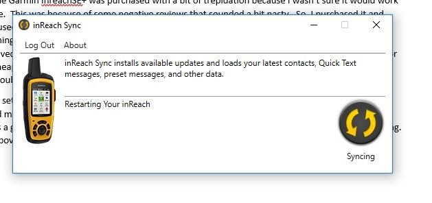
Garmin GPSMAP 65, Button-Operated Handheld with Expanded Satellite Support and Multi-Band Technology, 2.6″ Color Display, 010-02451-00
- Multi-band holds an accurate fix in dense forest and deep canyons
- Acquires satellites almost instantly with no warm-up wait
- Physical MARK button makes waypoint capture fast
- Sunlight-readable 2.6-inch color screen
- Works reliably with gloves
- Menus take practice and it is not unpack-and-go
- Wi-Fi connectivity is unreliable
- About 16 hours of battery is shorter than AA-powered units
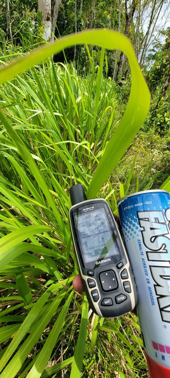
The GPSMAP 65 is the accuracy answer. Multi-band technology holds a steady position in dense forest, steep country and urban canyons, which is exactly where single-band handhelds drift and leave you second-guessing the track.
Field users also note how fast it acquires satellites, with effectively no warm-up wait. On a cold morning that difference matters, because a slow lock with wet gloves is when people start doubting the device.
The 2.6-inch sunlight-readable colour screen carries preloaded routable TopoActive maps and the U.S. federal public land map, and the dedicated MARK button on the pad captures waypoints without digging through menus. Bluetooth and ANT+ cover sensors and smart notifications.
What buyers use it for
Buyers mention coordinate work for property corners, hunting, and geocaching alongside hiking. The Garmin Explore website and app handle track, route and waypoint management, which is the easiest workflow in this roundup.
What to know before buying
The menu system takes practice and the Wi-Fi pairing is unreliable. Battery life of roughly 16 hours is shorter than the AA-powered alternatives, and the preloaded map region covers North America only, so travellers need to download their area.
9. Ocean Signal rescueME PLB1 – Smallest Subscription-Free Beacon
Ocean Signal rescueME PLB1 – Compact Satellite SOS Personal Locator Beacon
- Smallest and lightest beacon in its class at 4.09 ounces
- No subscription or monthly fees ever
- Seven-year battery life keeps it ready
- Simple registration and an easy in-field self-test
- Bright strobe light visible to rescuers
- SOS only with no two-way messaging
- Does not float and the antenna must be deployed
- Registration must be renewed every two years
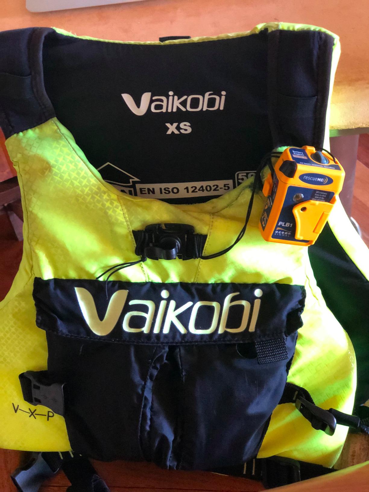
The rescueME PLB1 is 30 percent smaller than the next smallest beacon in its range and weighs 4.09 ounces, which is the point. A safety device you actually carry on every trip beats a capable one that lives in a drawer between outings.
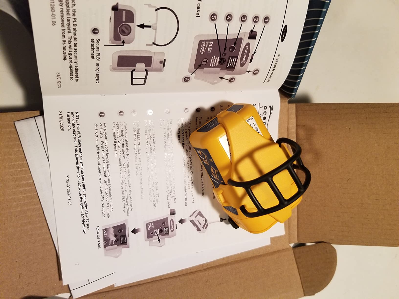
It uses international government rescue satellites with no subscription, and activation is deliberately simple enough for one hand in an emergency. The 66-channel GPS receiver, 1 candela strobe, and waterproof rating to 49 feet cover the marine case as well as the trail case.
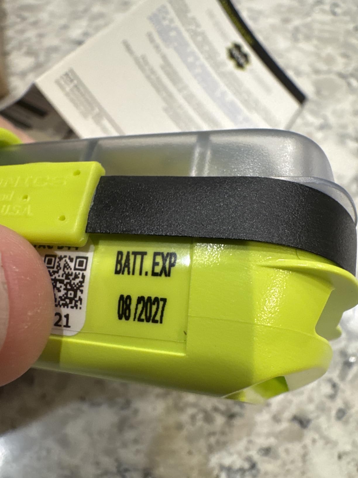
Battery life is quoted at more than 24 hours of operational life with a seven-year battery, so it stays armed without annual servicing. Owners value the small form factor and the straightforward registration process, and a handful report units arriving with an older battery date, so check it on arrival.
Why hikers like it
It is the least intrusive subscription-free safety device you can carry, with a lifejacket mounting clip and lanyard included. A unit that weighs 4 ounces and needs no account is an easy decision for a day hiker.
Where it is the wrong tool
It sends an SOS and nothing else, with no two-way messaging and no location sharing between check-ins. It also does not float, the antenna must be deployed and pointed at the sky, and registration has to be renewed every two years or the alert is not valid.
10. SPOT Trace – Best Point-to-Point Tracker
- Simple and dedicated with no menus to learn
- Motion-activated tracking works well for packs and gear
- Light at 3.04 ounces and easy to clip on
- Reliable point-to-point check-ins
- Works where cellular and Wi-Fi do not exist
- One-way only and cannot receive messages
- Requires an ongoing subscription to activate
- Tracking resolution and update frequency are coarse
The SPOT Trace is not a navigation device and it is not a communicator. It is a tracker, in the sense that it tells somebody where you are at intervals, and that narrower job is genuinely useful for a specific set of trips.
Think luggage, a vehicle, a boat, a teenager, or a pack handoff between camps. Motion-activated tracking kicks in when something moves, and preprogrammed status messages send automatically at set waypoints. There is no interface to learn because there is barely an interface.
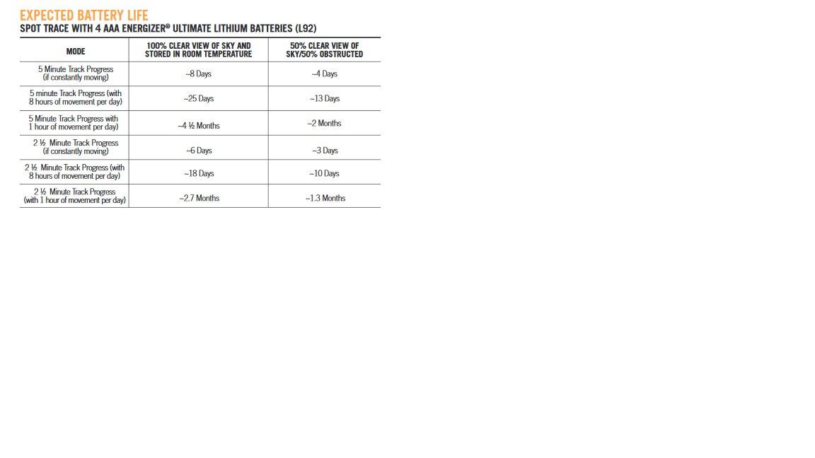
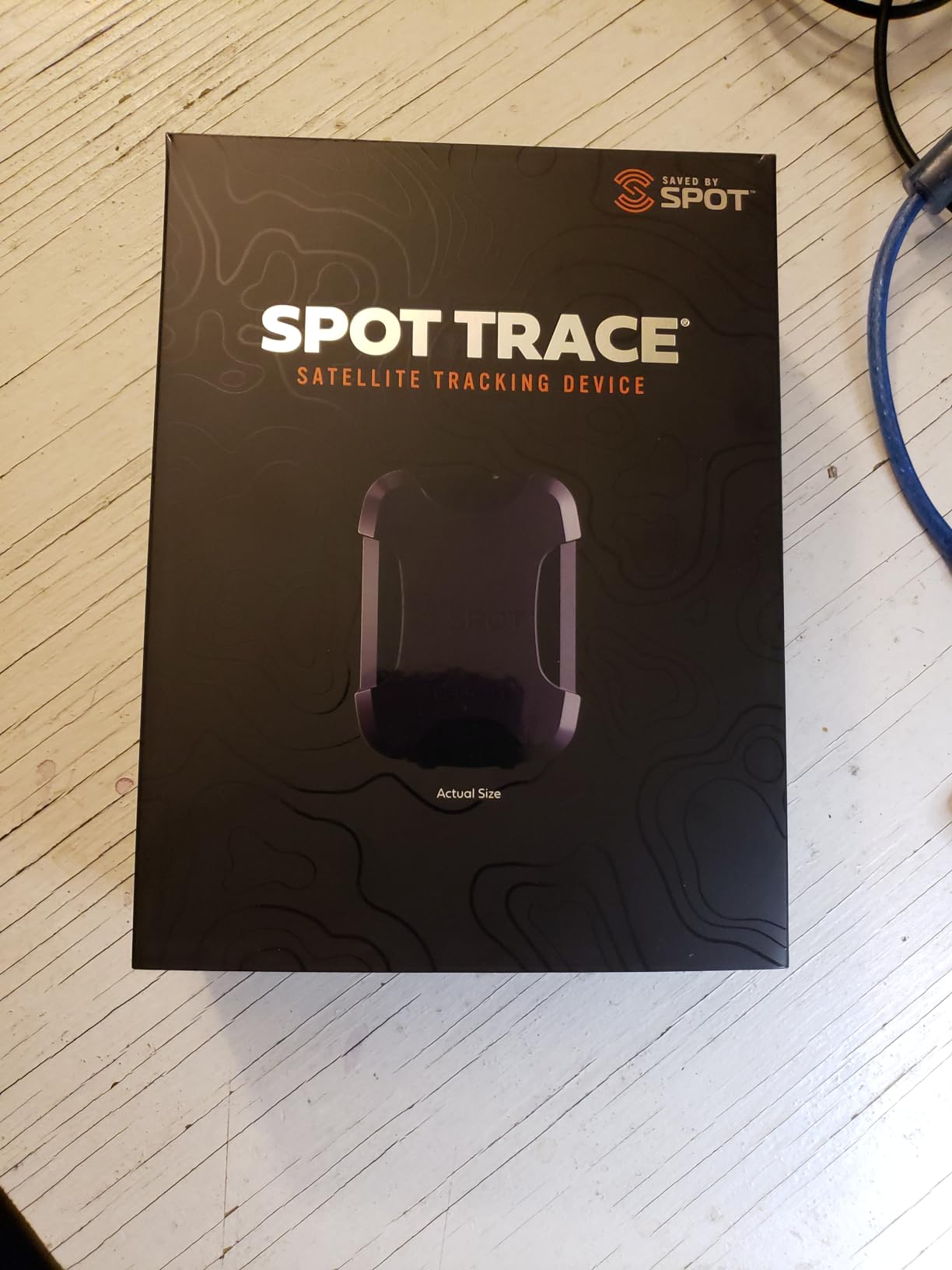
It weighs 3.04 ounces, runs about three months on a charge, and comes with four AAA lithium L92 batteries, a USB power cable, and a quick start guide. It transmits over the Globalstar satellite network, so it works where cellular and Wi-Fi coverage simply do not exist.
What it does better than the expensive units
It answers a question none of the others answer cheaply: can someone at home see a breadcrumb of where I am without me reading a screen or writing anything. For a family trip where the point is reassurance rather than rescue, that is the whole requirement.
Why the rating is the lowest here
It cannot receive or reply to a single message, tracking resolution and update frequency are coarse compared with modern communicators, and the device needs an ongoing subscription to activate. Some older SPOT hardware has also been discontinued on the service side, so confirm your model is still supported before buying.
Do You Actually Need a Handheld GPS?
Honestly, for a large share of hikers, no. A modern phone with offline topographic maps, a charged power bank, and a paper map as backup is a complete navigation setup for a weekend on a maintained trail. Spending more does not automatically buy you more accuracy.
What a dedicated unit adds is not accuracy in the easy cases. It adds five things. It keeps working when your phone battery dies in the cold. It has a screen you can read in direct sun with gloves on. It runs for days without a charge. It has physical buttons when your hands are wet. And some models send an SOS from places with no cell coverage at all.
That list matters on specific trips. A solo hiker above treeline, a winter ascent, a desert route with no resupply, an off-trail traverse, or any trip where a wrong turn is measured in miles rather than minutes, all belong in the group that should carry a dedicated device.
It does not matter for a Saturday loop from a car park with two bars of signal. If your trips look like that, put the money into a waterproof power bank and a phone case instead, and save the subscription entirely.
Subscriptions: What You Keep Paying For
Direct answer: you need a subscription only if you want two-way satellite messaging or live location sharing. Navigation, topographic maps, breadcrumb tracking, and distress beacons do not require one.
Sort the category into three groups by what happens to your wallet. The first group is free forever. The eTrex 10, the eTrex 22x, and the GPSMAP 65 are navigation devices with no recurring fee, and the ACR ResQLink View and the Ocean Signal rescueME PLB1 send distress signals with no recurring fee either. Everything those five do works indefinitely once you own them.
The second group charges for airtime. The ZOLEO has the smallest recurring commitment we found in this category and can be suspended between trips for a small monthly fee rather than cancelled, which suits someone who hikes four months a year and thinks about it the other eight. The Garmin inReach Mini and the inReach SE+ use the same Iridium network with a comparable tiered plan structure.
The third group is one-way and still charges. The SPOT Trace requires an ongoing subscription to activate and use, which is worth knowing before you assume a tracker is a set-and-forget purchase.
Two questions come up constantly, so here are the direct answers. Do you need a subscription for a Garmin eTrex? No, not for anything, including navigation and mapping. Is a dedicated handheld worth getting without one? Frequently, for the battery and glove reasons above rather than for safety messaging.
One more thing worth saying plainly. None of these devices replaces a paper map and a compass. Satellite communications and GPS position fixes both depend on the sky being visible, and every one of these units can be on, charged, and still unable to see a single satellite under a dense canopy or in a deep canyon.
Handheld, Watch, or Messenger?
People buy a wrist unit expecting a handheld and get a breadcrumb, so it is worth being blunt about the difference. A GPS watch tells you where you are, how far you went, and how fast. A handheld shows you a map and tells you where the trail goes. A communicator tells somebody else where you are.
A watch wins when your hands are busy, when you want heart rate and elevation data alongside position, and when battery life across a long day matters more than a map. Our notes on GPS running watches for training blocks cover the wrist category in more depth.
Check one thing before buying a watch for the backcountry, because it catches people constantly. Several Garmin watch lines carry no onboard topographic maps at all, so navigation is breadcrumb-only. Hikers on the forums say that limitation alone rules them out for serious trekking, and we agree when the trip goes off marked trail.
A handheld wins when you are following a route, navigating junctions, or finding water and campsites on contour lines. A messenger or beacon wins when the risk is being unreachable, not being lost.
Experienced thru-hikers usually stop trying to pick one and split the budget instead, carrying a watch or phone for navigation and a small communicator for safety. That pairing is cheaper than one flagship device and covers both failure modes, which is why it is the setup we would build for a solo long trail.
Pre-Trip Setup: Maps, Altimeter and SOS Etiquette
A handheld bought the night before a trip is a paperweight. Ten minutes of setup makes the difference between a device that helps and one that frustrates you on the trail.
Step 1: pick your map source and load it before you leave the trailhead. Use the preloaded TopoActive or public land maps as a base, then load the specific region you are walking from a desktop computer rather than over a weak phone signal. Regional detail and BirdsEye imagery belong on the device, not in a phone app that might refuse to work in the cold.
Step 2: set your emergency contacts before the trip. For a communicator, add two or three contacts who will actually answer. For a beacon, complete the registration paperwork for the correct region and re-register on the required schedule, because an unregistered alert will not reach the right authority.
Step 3: calibrate the barometric altimeter at known elevation. Set it when you are at a trailhead sign that lists the elevation. A barometer that is 300 feet off reports a 300-foot climb you did not make, and that number is what tells you whether you are making progress toward a pass.
Step 4: test the device in a safe condition. Run the self-test on a PLB, send a check-in from a car park, and confirm the tracking page loads. Doing this in a town rather than a drainage is the entire point.
Step 5: carry the paper map anyway. Fold it, laminate it if you like, and put it where you can reach it without stopping. If you press SOS, stay put, keep the device in your hand with the antenna pointed at the sky, and conserve battery rather than wandering to help.
For anyone buying for a family member, the same logic applies in reverse. Configure it for them, send a practice check-in together, and explain that the SOS button is for emergencies and that the device is not a substitute for a charged phone. Hikers buying for parents and younger companions consistently tell us that walkthrough is the most valuable part of the gift. If you are also picking out a watch for a child rather than a partner, our kid-focused GPS smartwatch picks cover the wrist side of that setup.
Frequently Asked Questions
What is the best GPS for trekking and hiking?
The Garmin inReach Mini is the best GPS for trekking and hiking for most people, because it adds two-way satellite messaging and a monitored interactive SOS to a body light enough to clip to a pack strap, with a battery that covers a full multi-day trip. If you need topographic maps more than you need to reach people, the Garmin GPSMAP 66sr is the strongest navigator here, with multi-band positioning, a 3-inch color screen, and 36 hours of standard battery life.
What is the best handheld GPS without a subscription?
The Garmin eTrex 22x is the strongest no-subscription handheld for hikers, because it ships with preloaded routable topographic maps, a sunlight-readable color screen, and 8 GB of internal memory plus a microSD slot, and it runs up to 25 hours on two AA batteries. The eTrex 10 is the lighter and cheaper option if a paper-map mindset suits you, and the GPSMAP 65 is the pick if you want multi-band accuracy under tree cover.
Do you need a subscription for a Garmin eTrex?
No. Nothing on the eTrex line requires a subscription, including navigation, topographic maps, and tracking. Subscriptions only apply to Garmin’s satellite communicators such as the inReach Mini and the inReach SE+, where airtime pays for two-way messaging and live location sharing over the Iridium network. The eTrex units are one-time purchases that work indefinitely with no recurring fee.
Which Garmin eTrex model is the best?
Choose the eTrex 22x for most hikers because it adds preloaded routable topographic maps, a color screen, and microSD expansion to the replaceable AA battery concept. Choose the eTrex 10 if you want the lightest and cheapest unit and are happy with a monochrome screen and a basic basemap. The eTrex line does not include multi-band positioning, so if accuracy under dense tree cover is your priority, look at the GPSMAP 65 instead.
Is a handheld GPS worth getting?
It is worth getting for solo trips above treeline, winter and alpine routes, desert and canyon travel, off-trail navigation, or any trip where a wrong turn is measured in miles. It is not worth getting for a day hike on a maintained trail with reliable cell coverage, where a phone with offline maps and a power bank is a complete setup. The real value is battery endurance, glove and rain usability, and the option of satellite SOS.
Is Garmin better than Google Maps?
For navigation, neither is better, they do different jobs. Google Maps and similar apps need a phone, a download, and a charged battery, and they are excellent on a maintained trail. A Garmin handheld gives you contour lines, waypoints, breadcrumbs, and a screen you can read with gloves on, and some models add interactive SOS. A satellite communicator adds something neither can do: messaging from places with no cell coverage at all.
The Verdict: Which Device Should You Carry?
For the best GPS devices for hiking and backpacking in 2026, the Garmin inReach Mini takes our top spot because it solves the problem hikers actually worry about at two in the morning, which is not finding the trail but having nobody to tell. The GPSMAP 66sr is the navigator to buy if maps are your thing, the eTrex 22x is the honest no-subscription workhorse, and the ACR ResQLink View or the Ocean Signal rescueME PLB1 is the cheapest way to carry a distress signal you never have to think about.
Whichever you choose, load the maps, calibrate the altimeter, test the SOS, and take the paper map anyway.